University of Parkhill 2019: What GIS Can Do for You
Category: Engineering
Written By: Valerie Edgren
Date: March 29, 2019
To understand the fascinating value of geographic information system (GIS) technology, think of your smartphone. Although GPS can tell you where you are, GIS is an analysis tool using geographic elements, such as traffic patterns or areas of construction, to help you reach your destination most efficiently.
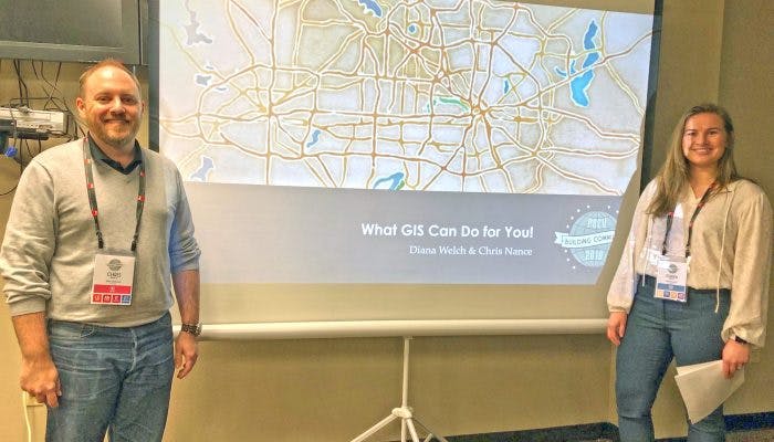
 GIS is a technology that is designed to store, analyze, and share information that has geographic elements. GIS data gathering provides a lot of background information before a project is even started. For example, Parkhill can use GIS data such as family incomes and ages of children to decide on a location for a new public swimming pool. Parkhill Water Resources Sector Engineers Chris Nance and Diana Welch discussed why this information is an exciting resource for engineers and the possibilities of this vast resource of information at their Parkhill University 2019 course, “What GIS Can Do for You.”
“It’s not a substitute for a Geotech report or survey information,” Chris said, “but even for a proposal, we can have solutions in mind before we start.”
Diana said when an engineering project is started that right-of-way information can be pulled from organizations such as the Texas Railroad Commission or the National Pipeline Mapping System to find out how many crossings are there before doing an alignment or where pipes are before digging is safely allowed.
 Landowner information, census information and geocoding using addresses is also valuable. LiDAR information shows surface characteristics of an area by collecting elevation data.
“One of the things that excites me,” Chris said, “is that we can anticipate within the next year to have 70-centimeter resolution (which means they shoot an elevation every square centimeter) LiDAR for the entire state. That’s going to be a tremendous asset for understanding elevation challenges as they relate to our projects. That’s really amazing.”
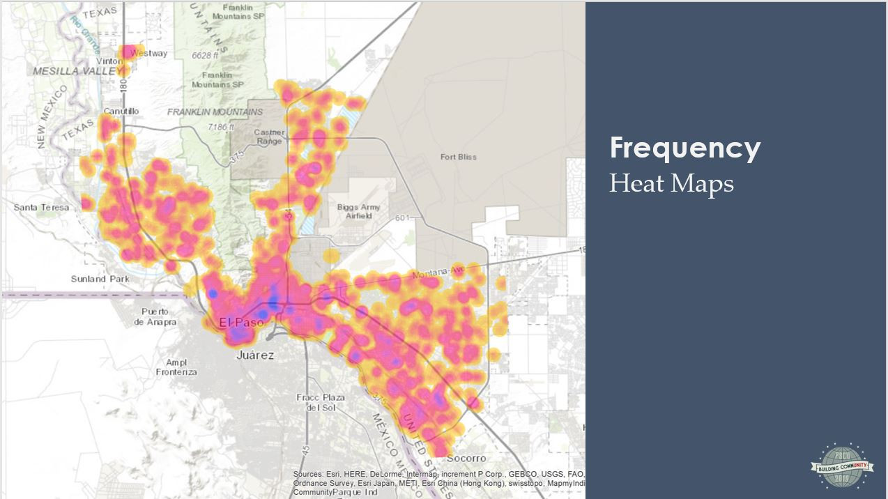
Heat maps are a way to visualize data. This type of frequency map, for example can show areas that have required ongoing maintenance which may be a symptom of problems such as pipe corrosion. All these types of data are valuable individually. However, analyzing the information cumulatively can help lead to an even better understanding of projects for the betterment of a community.
 Data is continually being applied in innovative ways, so even more uses for GIS are possible. Indoor GIS is one of those possibilities. Data from a shopping mall can provide information to shoppers on various floors of the mall. Locations, functions and safety measures for equipment in storage can help users understand what tool to use and how best to use it. Collection route generation optimization is another possibility and could increase the efficiency of routes and scheduling for city services such as garbage trucks and postal vehicles.
Diana has explored other ways of using it for everyday interests, such as a map of NCAA college football fans.
“GIS can be used for many reasons and a wide variety of data,” she said. “It’s not for everything, but it can be used in a lot of interesting and valuable ways.”